- About
- Topics
- Picks
- Audio
- Story
- In-Depth
- Opinion
- News
- Donate
- Signup for our newsletterOur Editors' Best Picks.Send
Read, Debate: Engage.
| September 30, 2021 | |
|---|---|
| topic: | Deforestation |
| tags: | #technology, #satellite technology, #forests, #conservation, #Africa |
| located: | Democratic Republic of the Congo, Guinea, Uganda |
| by: | Bob Koigi |
Trees have been known to absorb up to a third of the greenhouse gas emissions produced globally.
African forests store 171 gigatons of carbon, provide a rich biodiversity of plants and are home to some of the world’s most rare and endangered species.
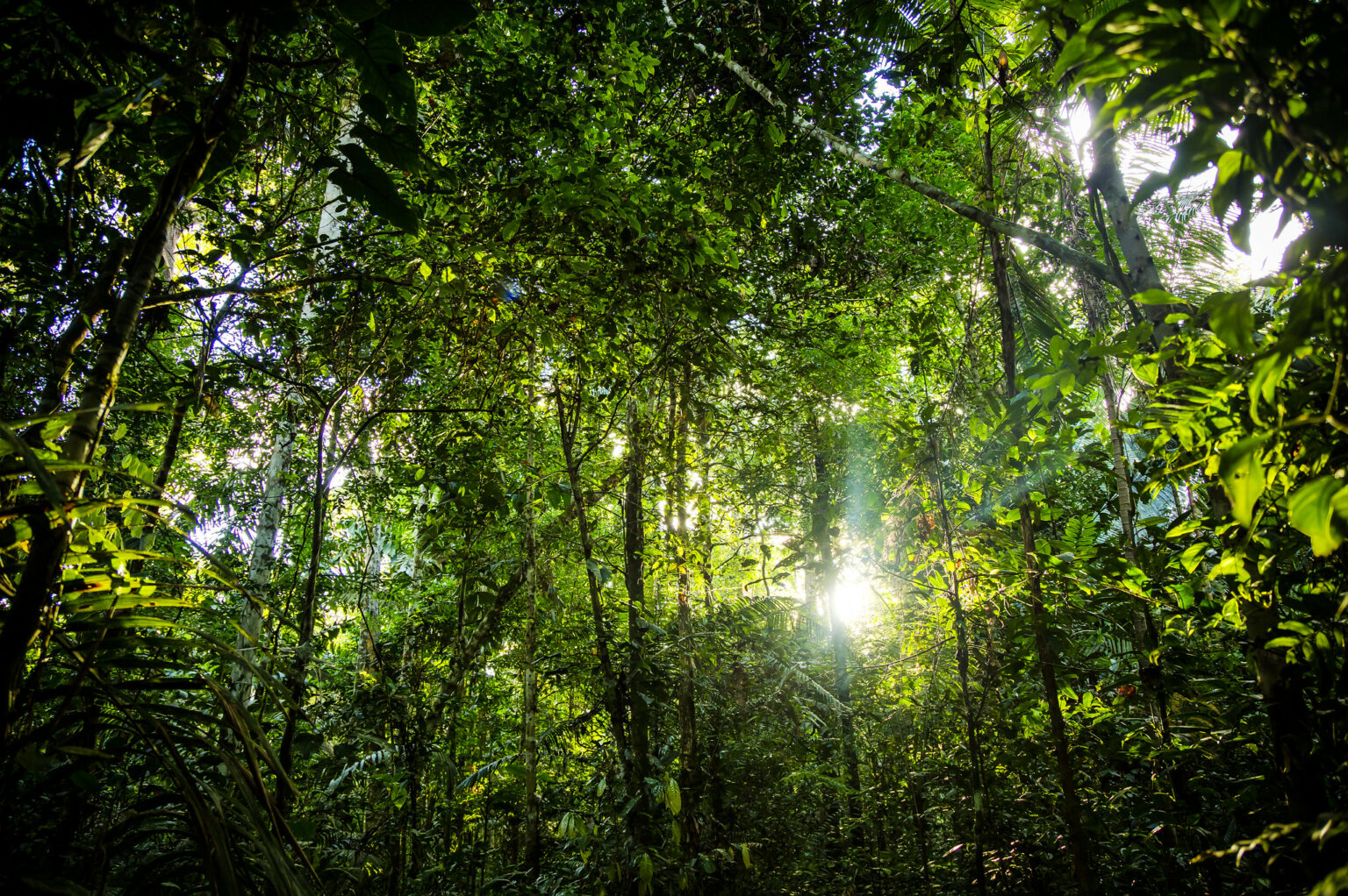
From the iconic Guinean Forests in West Africa to the expansive rainforests in the Congo Basin which covers over 251 million hectares and spans across six countries, African rainforests have played a crucial role in carbon storage and mitigating the impacts of climate change.
But Africa's forests have been under threat, with close to 90 percent of West Africa’s coastal rainforests having been decimated and deforestation in the Congo Basin doubling since the 90s.
The biggest contributors to the rapid disappearance of forest-cover are agriculture, infrastructure development, mining, fires and timber harvesting.
Globally in 2019, tropical rainforests had shrunk to the equivalent of one football pitch after every six seconds, as detailed in a report by the international forestry watchdog Global Forest Watch.
Each year, between six and 17 percent of carbon emissions are occasioned by deforestation, with tropical rainforest deforestation contributing more carbon emissions than the entire European Union's member states combined, according to a report by World Resources Institute.
But as the world stares at such an unprecedented loss of forestry, technology and earth orbiting satellites are coming to the rescue, either by identifying the contributors, halting the extent of the destruction or protecting the ecosystems at stake.
A forest satellite monitoring service dubbed Global Land Analysis and Discovery is a system that was introduced by Global Forest Watch's monitoring project in 2016 and sends free alerts when trees are destroyed. It showed that deforestation decreased by 18 percent on average in nine Central African countries when the service came into force.
The service taps satellite images that are updated after every eight days and embraces artificial intelligence to locate where trees are disappearing through image comparison.
It then transmits a warning signal to subscribers, which include wildlife officials, governments, NGOs, forest protectors or even park authorities, who can take action.
Global Forest Watch estimates that the system could have stopped up to $696 million-worth of damage and climate change related economic costs.
“Having access to information is good. But what you need to change the course of deforestation are people committed to using that information and acting,” said Fanny Moffette, a postdoctoral researcher in applied economics at the Nelson Institute for Environmental Studies and the Department of Agricultural and Applied Economics at the University of Wisconsin–Madison. The research findings were published in the Nature Climate Change Journal.
Dutch-based Wageningen University & Research has also developed an alert app that points users to the specific areas in which logging is taking place.
Another related invention is an application dubbed Radar for Detecting Deforestation (RADD), which covers the African rainforest - a bulk of which lies in the Congo basin.
It relies on publicly available radar images that are collected within six to 12 days by the European Space Agency’s Sentinel-1 satellite. Whenever a rainforest disappears, an alert is sent to enforcement personnel on the ground for intervention. It can zoom in on up to 10-by-10 meter patches, thus ensuring that gaps can be identified in the forest canopy after a tree has been cut.
Nature Conservancy, a global conservation NGO, has been working in Tanzania through satellite imagery which it uses to compare with historical photos of forests in identifying red zones.
It then verifies this information with members of the surrounding communities, whom it collaborates with in management of forests.
The conservation organisation found that the Lake Tanganyika Basin forests had shrunk by an estimated 26 percent over the last three decades, and saw a 10 percent decline in the Greater Mahale Ecosystem within the same period.
Friends of Zoka, a group of community members keen to protect the iconic Zoka Central Forest Reserve in the West Nile region of Uganda, have courted technology to advance their conservation mission.
The group uses social media platforms including Twitter, Facebook, Instagram and WhatsApp to interact and share photos and videos of their meetings, record and share songs and information and name and shame those who devalue the forest.
When security officials disrupt their physical meetings and protests, they hold their meetings on WhatsApp through the Friends of Zoka group.
“At a time when we are facing unprecedented catastrophe like climate change, and our forests face dangers of extinction, our greatest silver bullet in protecting them is technology, and it doesn’t have to be complicated," William Amanzuru, founder of Friends of Zoka, told FairPlanet. "We have proven that with just a phone you can make a big difference in conserving our forests, our heritage.”
Image by: Red Charlie via Unsplash
By copying the embed code below, you agree to adhere to our republishing guidelines.

